Utilization of BIM/CIM to Speed Up and Improve the Efficiency of the Landslide Disaster Response
1.Introduction
BIM/CIM (Building / Construction Information Modeling, Management), which uses 3D models to advance a series of construction production and management systems, is being actively promoted as part of the drive for
DX in the infrastructure field. At present, BIM/CIM is being used mainly in the design and construction of civil engineering structures.
PWRI, however, has developed a BIM/CIM model for landslide disaster response (hereinafter referred to as the Model) to enable a rapid and efficient emergency response using BIM/CIM in the event of a disaster.
2.Overview of the BIM/CIM Model
The Model is a BIM/CIM model dedicated to disaster response that is quickly created by combining map data with 3D color point cloud data (data that represents objects and topography as a set of points)
made from photographs of disaster sites taken by UAVs. As shown in Figure 1, the Model reproduces a virtual disaster site in computer space and can freely move the viewpoint and rescale the image,
allowing users to see the overall picture of the disaster at a glance. The Model is applied to the MLIT BIM/CIM Utilization Guidelines (draft), and details are published as the Technical Note of PWRI.

Figure 1 BIM/CIM Model for a landslide disaster response
3.Utilization of the BIM/CIM Model
The Model provides an overall picture of the disaster at a glance through 3D color point cloud data. With additional information on topography, geology and other factors, it is possible to identify the
causes of landslides and disaster risks and to consider emergency countermeasure works. Online sharing of the Model via a web conference system enables non-contact, remote technical support.
Thus, utilization of this technology enables an integrated study of a series of initial disaster responses based on the virtual disaster site, as shown inFigure 2.
PWRI has utilized this method to provide remote technical support during the COVID-19 pandemic and the FY 2020 and 2021 disasters, quickly analyze the causes of landslide occurrence and disaster risks,
and examine emergency countermeasure works, thereby contributing to the early opening of closed roads and the early implementation of landslide countermeasure works. In the future, this technology is expected
to be used in the infrastructure DX rooms being developed by MLIT and PWRI to provide technical support in the event of simultaneous disasters over a wide area, and thus lead to the development of
a next-generation disaster response.

Figure-2 Study of a series of initial disaster responses based on the BIM/CIM Model
(Contact : Landslide Research Team)
Study of a Method for Accurately Estimating the Liquefaction Strength Ratio of Volcanic Ash Soil

Photo 1 Liquefaction damage of
volcanic ash soil caused by
the 2018 Hokkaido Eastern
Iburi Earthquake

Fig. 1 Comparison of the Liquefaction
strength ratio RL of volcanic ash soil
(southern,central and eastern
Hokkaido) and the estimation formula
for sandy soil

Fig. 2 Relationship between the shear
wave velocity Vs and the Liquefaction
strength ratio RL of volcanic ash soil
in Hokkaido
In Japan, which is a volcanic country, volcanic products generated by volcanic activity since the Quaternary period are accumulated over extensive areas. Therefore, it can be said that volcanic ash soil originated from volcanic products is one of the typical ground-forming soils in Japan. Characteristics of volcanic ash soil vary by regions. In Hokkaido, where more than 40% of the total area is covered with unconsolidated volcanic products, the types and properties of volcanic ash soil are particularly diverse, and liquefaction of volcanic ash ground is often caused by relatively large earthquakes, affecting society greatly (Photo 1). To prevent liquefaction damage of volcanic ash ground, it is necessary to evaluate the resistance strength against liquefaction (liquefaction strength ratio RL) of volcanic ash soil appropriately in advance.
Volcanic ash soil, of which the soil particle size is generally in the same range as that of sandy soil, used to be treated as sandy soil for geotechnical design and studies. However, recent studies have revealed that it has different physical and dynamic properties from those of sandy soil. The liquefaction strength ratio RL of volcanic ash soil cannot be evaluated appropriately by the formula used to estimate the liquefaction strength ratio of sandy soil based on the N value (index representing the hardness of ground) and other factors.Figure 1shows the results of a laboratory test of the liquefaction strength ratio RL of volcanic ash soil in southern, central and eastern Hokkaido, where liquefaction of volcanic ash ground had been observed during past earthquakes. The values of the laboratory test results (plot ◇) do not match the solid lines indicating the results of the liquefaction strength ratio estimation formula for sandy soil. There were no clear relations between the fine fraction contents (FC) shown in different colors. Based on these results, the Geotechnical Research Team has been studying a method for accurately estimating the liquefaction strength ratio RL of volcanic ash soil.
Figure 2 shows the relationship between the shear wave velocity Vs (propagation velocity of transverse waves in the ground) of volcanic ash soil collected from the same location as that of Fig. 1 and the liquefaction strength ratio RL, by normalizing them with their respective reference values. The figure also shows a similar relationship for sandy soil, by referring to previous studies on sandy soil. The results revealed that there was a positive correlation between the shear wave velocity Vs and liquefaction strength ratio RL as with the results for sandy soil, and that there was a relationship unique to volcanic ash soil and unlike sandy soil. A study on a different density than the in-situ density (density of the ground on site) was also conducted, revealing that there was a unique correlation depending on the location (i.e., type of volcanic ash soil), even though the in-situ density was different. The team intends to conduct similar studies and data accumulation for volcanic ash soil of different regions and types as disaster control-related studies, to expand the range of application of the results of this study.
(Contact : Geotechnical Research Team, CERI)
Training Activities at ICHARM
Introduction
With the aim of mitigating water-related disasters around the world, ICHARM promotes various activities based on the three pillars of research, training, and information networking. As for training in FY 2022, the following activities are being conducted mainly for foreign administrative officials.
・ 2021 - 2022 Master's Course “Water-related Disaster Management Course of Disaster Management
Policy Program” (October 2021 - September 2022: 13 students)
・ Disaster Management Ph.D. Program (October 2020– : 2 students, October 2021– : 3 students)
This section describes training activities at ICHARM, focusing on master’s and doctoral training programs.
Master's Course “Water-related Disaster Management Course of Disaster Management Policy Program”
ICHARM, in cooperation with the Japan International Cooperation Agency (JICA) and the National Graduate Institute for Policy Studies (GRIPS), has been offering the Master's Course “Water-related Disaster Management Course of Disaster Management Policy Program” (JICA Knowledge Co-Creation Program “Flood Disaster Risk Reduction”) for 15 years since its inception in FY 2007 and has sent 157 master’s degree holders into the world. The purpose of this training course is to develop administrative officials who are capable of practically handling and mitigating damage caused by flood disasters in developing countries where flood disasters frequently occur. All lectures and exercises are conducted in English. In the first half of the approximately one-year course,
lectures and exercises on basic theories such as Disaster Management Policies, Hydrology, and Hydraulics, as well as practical lectures and exercises in Control Measures for Landslide & Debris Flow, Mechanics of Sediment Transportation and Channel Changes, Flood Hydraulics and River Channel Design, and Socio-economic and Environmental Aspects of Sustainability-oriented Flood Management are conducted. In the second half of the course, each student writes a master’s thesis that contributes to solving problems related to water-related disasters in their respective countries. Field training is also conducted in various locations in Japan, both in the first and the second halves of the course so that students can learn more about Japan’s flood control measures.
The current course, which started in October 2021, has 13 students in total: two from Bangladesh, one from Bhutan, one from Indonesia, one from Malawi, two from Malaysia, one from Nepal, three from Sri Lanka, and two from the Philippines. This training program is attractive, not only because it is expected to develop the skills of the staff of institutions that have sent students, but also because the students will receive a master’s degree after earning credits during the one year of training. Through this training, not only will students become more knowledgeable, but ICHARM will also develop closer relationships with students. The formation of an international network by returning master’s degree holders has been a great help for ICHARM’s activities.
Disaster Management Ph.D. Program
ICHARM, has been implementing the Disaster Management Ph.D. Program in collaboration with GRIPS for 12 years since its inception in FY 2010 and has sent 15 Ph.D. holders into the world. Since FY 2018, we have collaborated with JICA to expand the system of accepting students. This program is designed to develop individuals who can lead the planning and implementation of national and international strategies and policies, and who can train researchers. As with the master’s program, the main target audience is administrative officials in developing countries, but private financing also allows students from Japan and other developed countries to enter the program. This program, like the master’s program, is conducted in English, and the standard term of study is three years.
To complete the program, students must earn the required credits, and pass the Qualifying Examination (QE) and the final thesis evaluation. Students may be employed as ICHARM Research Assistants (ICHARM RAs), in which case they can complete their doctoral studies while working as ICHARM RAs.
In the first half of the three-year program, students take courses that have been further developed based on the master’s program subjects, such as Advanced Hydrometeorology and Advanced Hydrodynamics, and engage in advanced research from an early stage, aiming to submit two peer-reviewed papers within the term of completion. One student each from Ethiopia and Bangladesh participated in the program that started in October 2020, and one student each from the Philippines, Sri Lanka, and Nepal participated in the program that started in October 2021. A Japanese employee of the National Institute for Land and Infrastructure Management (NILIM) also completed the program in September 2021 and is expected to play an even more active role after obtaining his degree. Some of the students in the doctoral program have completed their master’s degrees at ICHARM. ICHARM diligently works to produce international leaders under a training system that integrates master's and doctoral programs.
Conclusion
In addition to the master's and doctoral training programs described here, ICHARM also cooperates with JICA Knowledge Co-Creation Program (Group and Region Focus) such as Water Related Disaster Risk Reduction and Planning and Management of National Mapping and Surveying. ICHARM will continue its efforts to develop individuals who can play an active role on the international stage.

Nov.8,2021_Remote inception
report presentation

Dec.24,2021_Practical hydraulic
model experiment

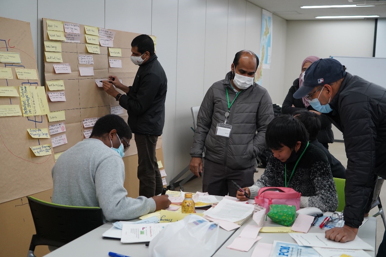
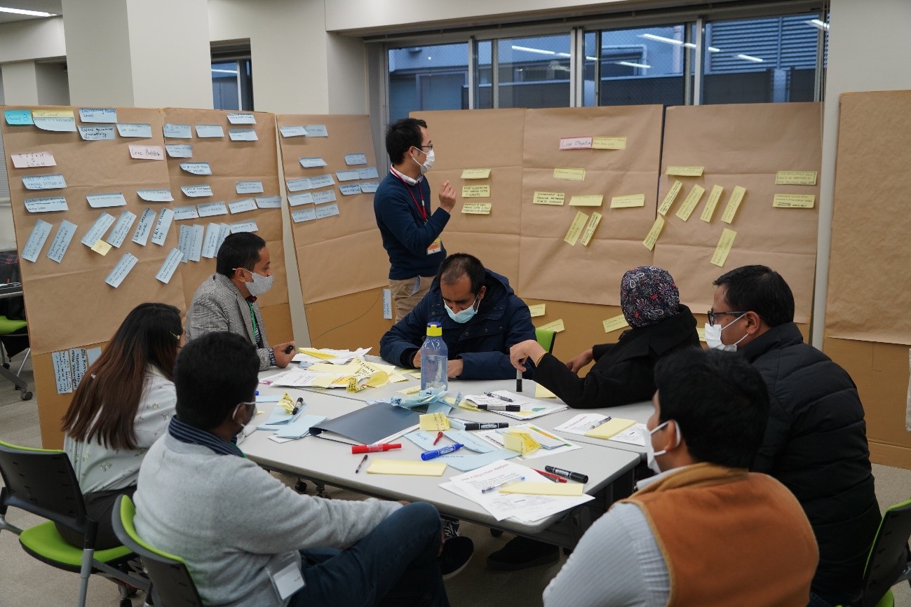
Jan.5–7,2022_PCM training

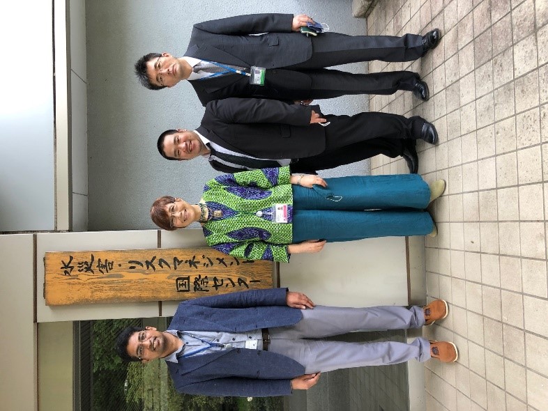
Sep.15,2021_Ph.D.graduates
and ICHARM assistants

Nov.1,2021_Remote master's
course opening ceremony

Dec.24,2021_Practical hydraulic
model experiment

Jan.5–7,2022_PCM training

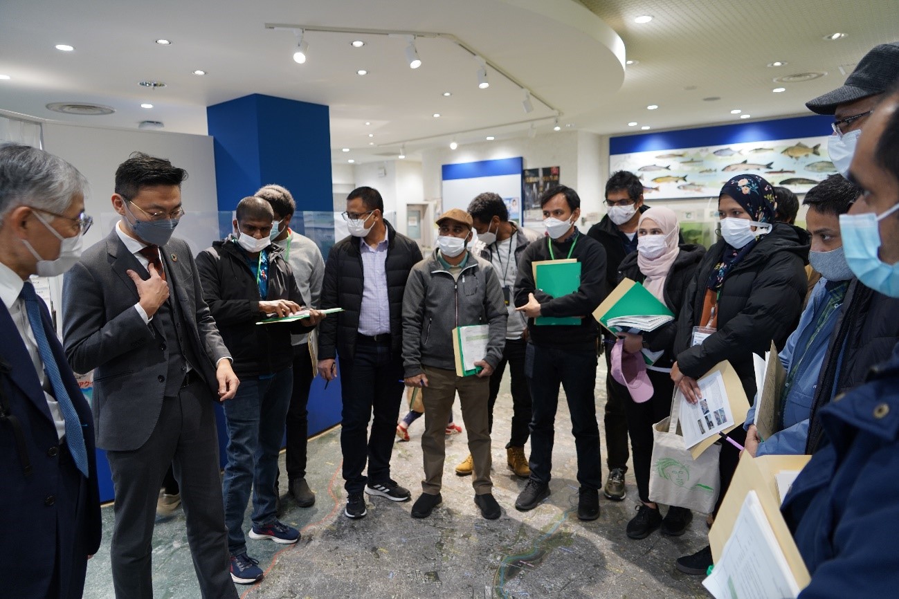
Mar.2,2022_Lecture at the
Arakawa Museum of Aqua
(Contact : Water Hazard and Risk Management Research Group)
